The Lower Mississippi River Water Trail
29.8 LBD Melville Ferry Barge East Bank Landing
Ferry defunct, but landing intact. Possible stop place, but not good for camping.
30 – 40 Melville to Krotz Springs
The Atchafalaya River bounces through a series of riverbends in this 10-mile stretch, with extensive woods lining the river along the East Bank (left bank descending). If you need to stop for lunch or to make a camp, the left bank descending will be the more peaceful choice. The Morganza Floodway parallels the Atchafalaya River with thousands of acres of deep woods and bayous extending five miles wide down to Hwy US 190 where it broadens to encompass 10 miles of woods at the top end of the Atchafalaya National Wildlife Refuge. There are no big sand dunes in this stretch, but there are many places to stop and camp or picnic in the woods, as mentioned in the more wild East Bank side. A busy highway (LA Hwy 105) lines the West Bank, with farms and residences, and many private access points.
31 LBD Broad Bay
A large eddy forms left bank at mile 31 in high water, with a high bank of sand good for stopping up to 25 KG, but muddy landings in low water.
31.5 LBD Cross Bayou
Cross Bayou leads to Mussel Bayou, which splinters off into a half dozen other bayous all within the Morganza Floodway, but none no longer touch the Atchafalaya River, since it is now cut off from this floodplain by the levee.
31.7 LBD Open Field Cow Pasture
32.5 LBD Cross Bayou Point (Owl Hoot)
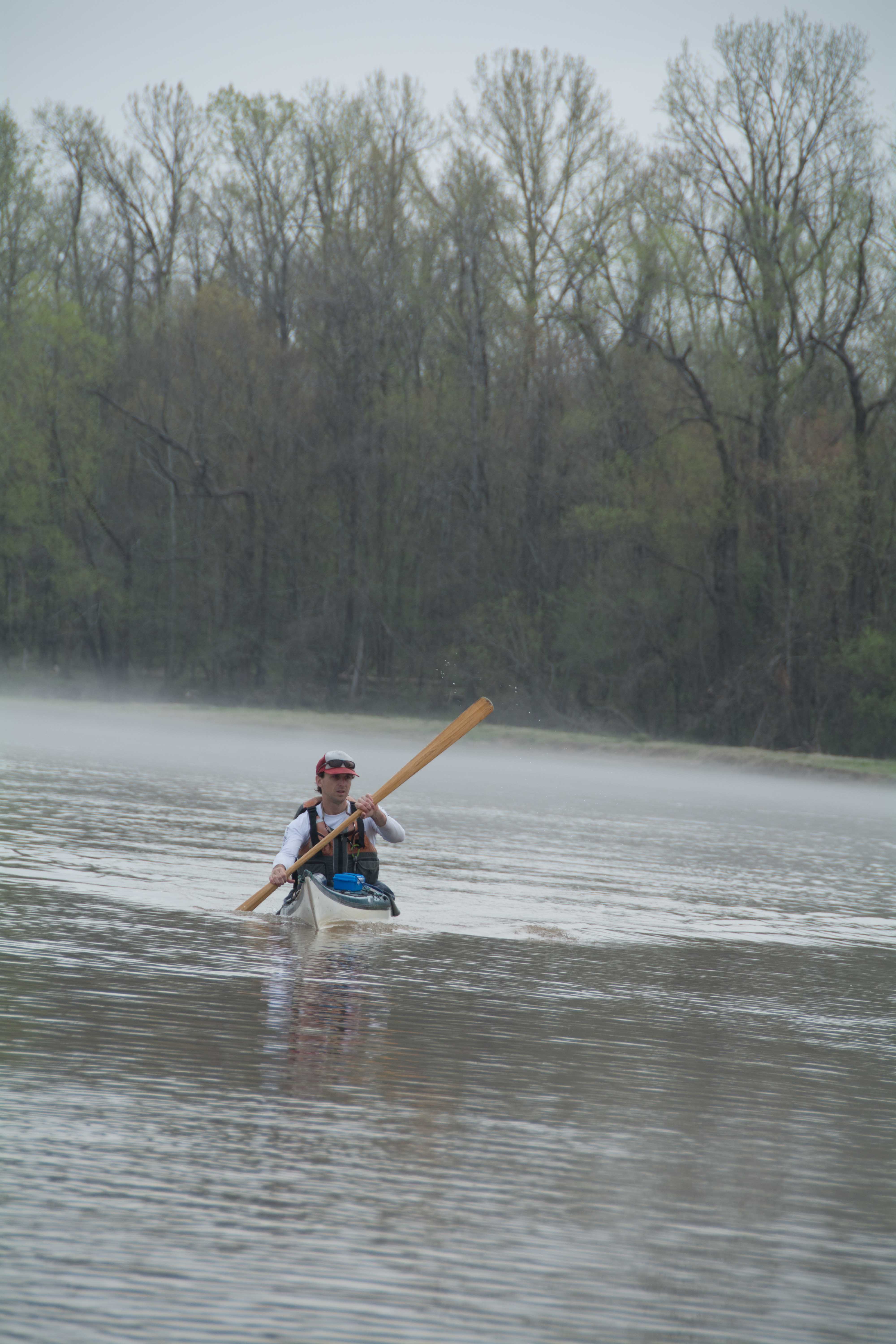
A series of dunes accumulates at the bottom end of Cross Bayou Point in low and medium water levels, but disappear in high water. Possible forest camping in higher water levels with good all around protection, but used for grazing cattle. From Rivergator Expedition journals Wed March 18, 2015: Roosters, dogs and highway sounds on the opposite side of the river; owls, spring peepers, crickets and cows on ours. The “lived-in wilderness,” it reminds me of the Chihuahua/Sinaloa, where the Tarahumara live in harmony with the deep canyons of the Sierra Madre. Like the Appalachicola we have fog every morning, and have been pushing off several hours after sunrise, around 10am. Low layers of fog still lingering in treed harbors, the air so calm and the temperature gradient so keenly defined. Long undulating lines of fog reaching everywhere, turning our campsites into special places on the edges of two rivers, one in the water, one in the sky.
Even here, in this relatively noisy location, paddlers will feel connected to the river, and everything connected to the river: Six deltaic lobes the Mississippi has created in the last 7,000 years in this interglacial age of the Holocene. Now the Atchafalaya flows strong as the most ready to capture the whole, a 1000-year process now extended by the gates of the control structures. 25% of the Mississippi and 30% of the combined Red/Mississippi. I dip the big coffeepot (our central water heater) over the edge of the canoe into the river and pull out a potfull of reddish/orangish fluid, the blood of the Comanche Country Great Plains/Ozarks/Ouchitas and furthest reaches high plains of New Mexico where the Cimarron meanders in a tightly looping line like the plate fissures of the skull. More red earth country, the blood of the Red mixed with the black/green blood of the rest of the drainage, the whole being bubbled in my big pot (bought from the Army Navy store on the banks of the Mizzou in Wolf Point Montana) and then made to brew chicory coffee, ginger tea, river, spaghetti noodles, and then to rinse our faces, cleanse our hands, wash our dishes, and then be tossed to the side to drain into the leaves and disappear into the soil, where it filters through the fine sediment enriched with bacteria and microbes and a fine mixture of minerals, and then re-emerges lower down the bank refreshed and ready to caress our paddle strokes.
34.6 RBD Boat Launch & Dock (Private)
35.6 LBD Small Sandbar
A small sandbar forms here with dry camping possible up to 25 KG.
36 – 37 RBD Sandy Landings
There are a series of sandy landings that found here and appear to be dry up to 25 KG, but the levee is close behind and a couple of farms or ranches are found on the river side of the levee, also some decrepit barns, and a trash site at mile 37.
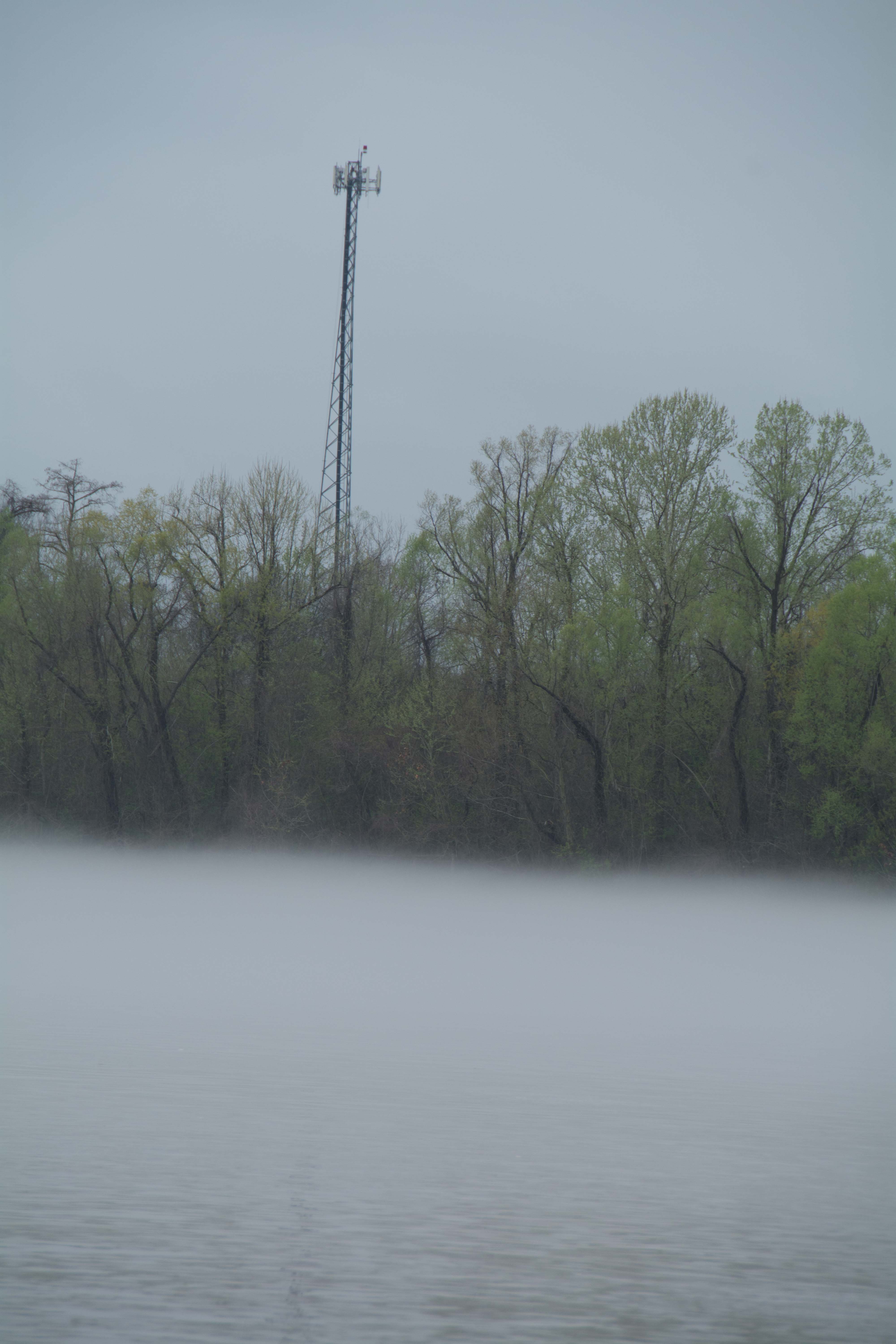
37.1 RBD Cell Tower
A cell tower is located here on land side of levee.
39.7 LBD Bayou Sherman Point
Small dune in small eddy alcove below Bayou Sherman Point
Atchafalaya Basin Pack List for Swampy/Marshy Camp Sites:
Before passing Krotz Springs check your gear. This might be your last resupply for food and water. Also, you might want to add a few swamp-specific items to your gear. If you haven’t already prepared for this, here are some very useful items to consider adding to your equipment stash before diving any deeper down the River of Trees:
-Machete: For trail-making. For clearing out campsites in brushy places. For clearing poison ivy from campsites.
-Water Filter (or Purification): For filtering swamp water in remote areas when you need drinking water. You can always find water within the Atchafalaya Basin, but you can’t always get to places with tap water. Be prepared to boil water, filter, or purify.
-Small camp stove: For boiling water and cooking food when you are camping surrounded by water, or in locations with no dry wood, or no possibilities for making a fire.
-Mosquito Netting: For especially bothersome mosquitoes, flies, gnats and no-see-ums.
-GPS: Might be useful. A smartphone might be just as good. Your phone will have service throughout most of the basin.
-Hammock: For wet campsites. For canoe camping. For highwater expeditions when little to no dry ground can be found.
-Extra tarp: For setting your tent on. To sit on in wet locations. For covering firewood on rainy/foggy/dewy nights.

Leave A Comment
You must be logged in to post a comment.