The Lower Mississippi River Water Trail
Old River Control Structure: 3 Inflow Channels
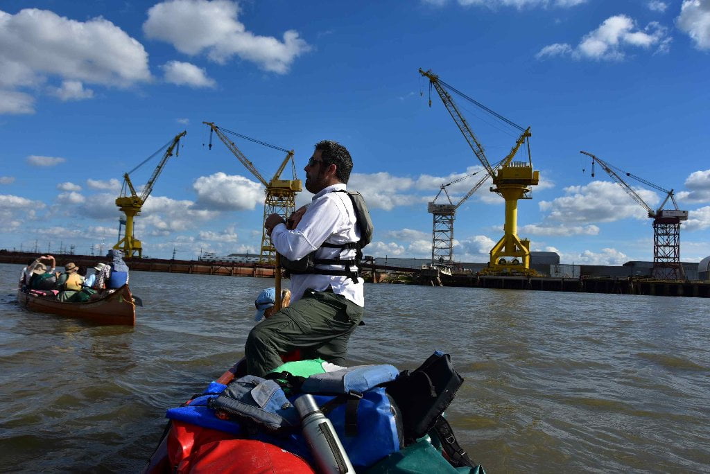
Regardless of the above warning, which is printed on the USACE maps, you will not helplessly flushed through the gates of the dragon-like Old Rive Control structures. Maybe you’ve read about it, or heard frightening tales about it. It’s as legendary as the Chain of Rocks of St. Louis, and as little understood, and as many tall tales told about. No, you won’t be inexplicably sucked into and flushed down the canal. Stay mid-channel as traffic allows. Keep at least three hundred yards off the right bank descending as you approach all of the three openings, and watch carefully how the water is flowing. At higher water stay further out, at lower water staying out two hundred yards is enough. Do not make landings anywhere near the mouth, or you might indeed, as fears run rampant, be sucked into the opening.
316.3 RBD Hydro Inflow Channel
This is the first of three openings sucking water out of the Mississippi for destination down the Atchafalaya. The hydro canal feeds the hydroelectric power plant and is always open with water flowing in. At low water only the hydro intake will be open. At medium water the auxiliary opens. At high water levels all three will be open and flowing strong. So dismiss fears of being snagged out of the main channel by an unavoidable currents. Keep your distance and carry on downstream paddling for the beautiful bluffs rising in front of you, the Tunica Hills at Fort Adams. Keep several hundred yards off the right bank descending as you approach mile 316, and watch carefully how the water is flowing. At higher water stay further out, at lower water staying out several hundred yards is enough. Do not make landings anywhere near the mouth.
313.7 RBD Knox Landing
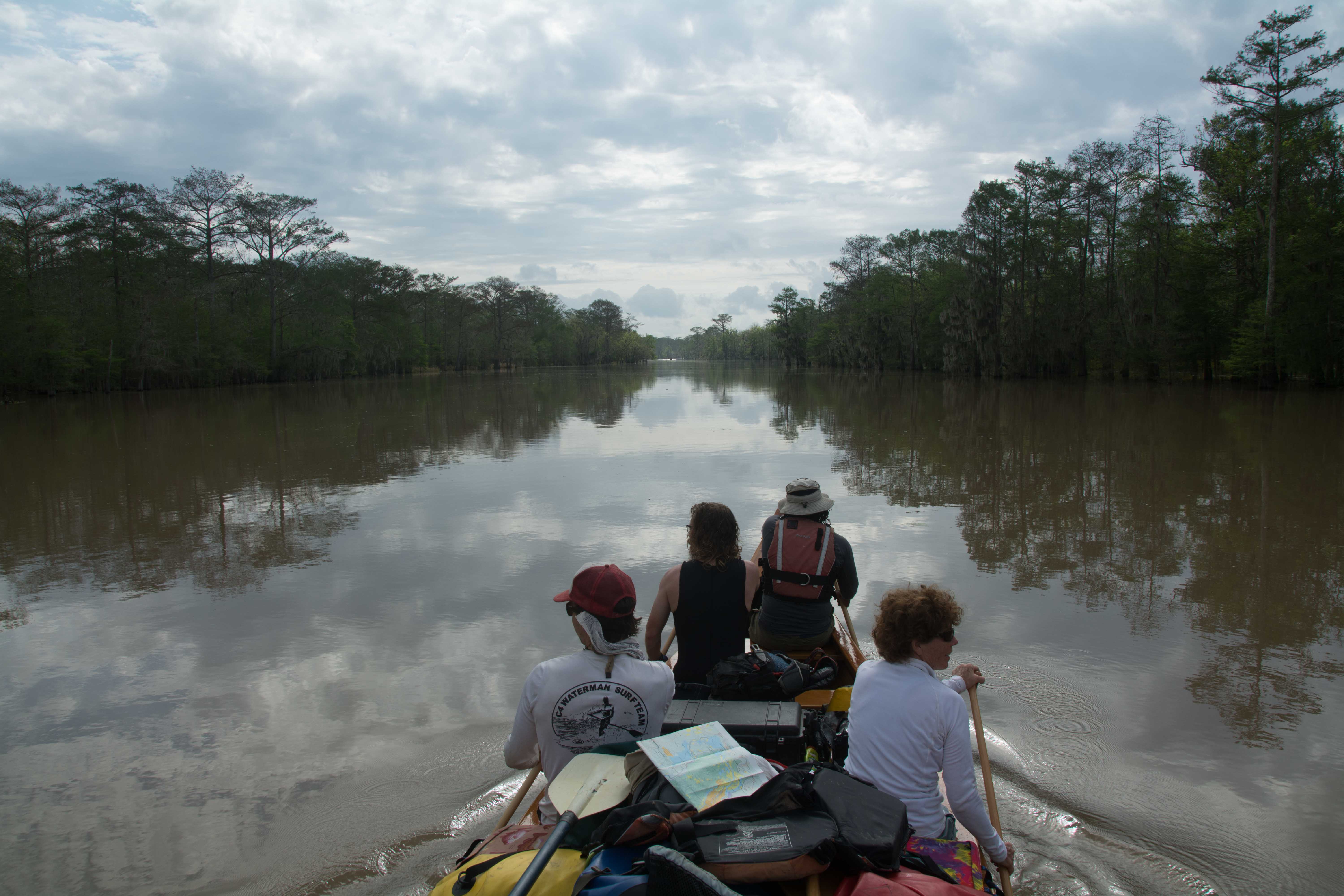
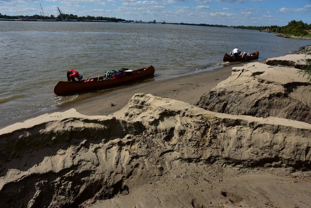
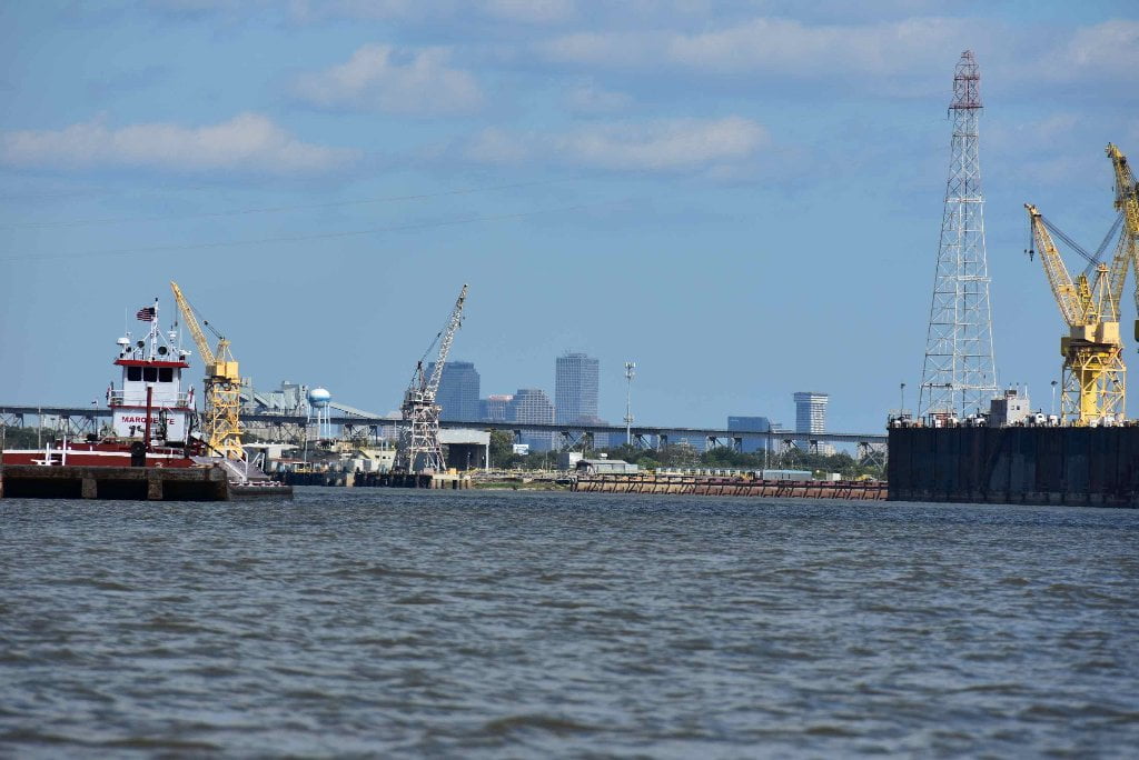
You could start your Atchafalaya Expedition from Knox Landing. Put in here, on the Mississippi River, paddle downstream ten miles to the Old River Channel. Pass through the Lock and Dam and paddle seven more miles total to reach mile -0- the start of the Atchafalaya River. opening A steep but well-positioned concrete boat ramp drops into the river here on the artificial island created by the Main Intake and Auxiliary Intake of the Old River Control Structures. Good place to start or end an expedition, and probably safe parking. But there are no services in the area.
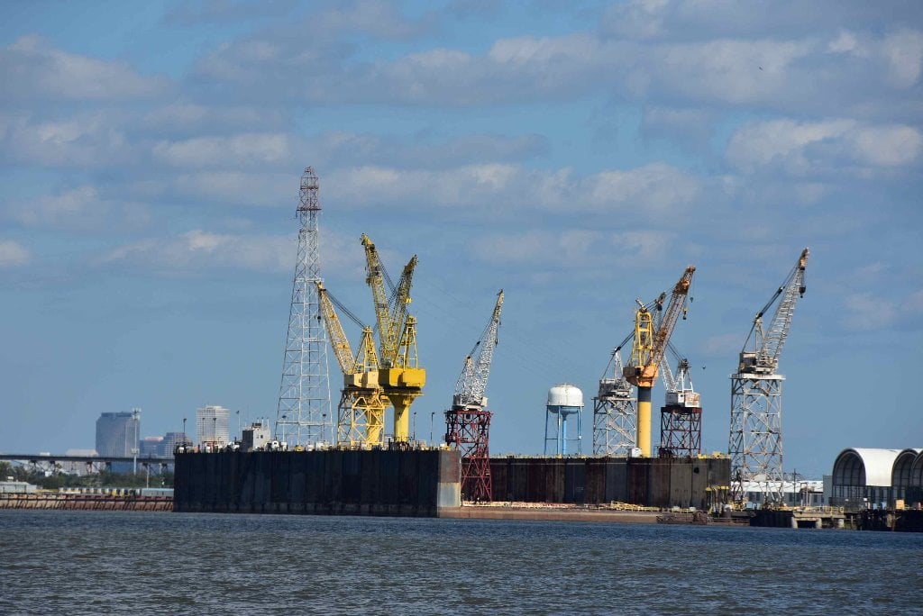
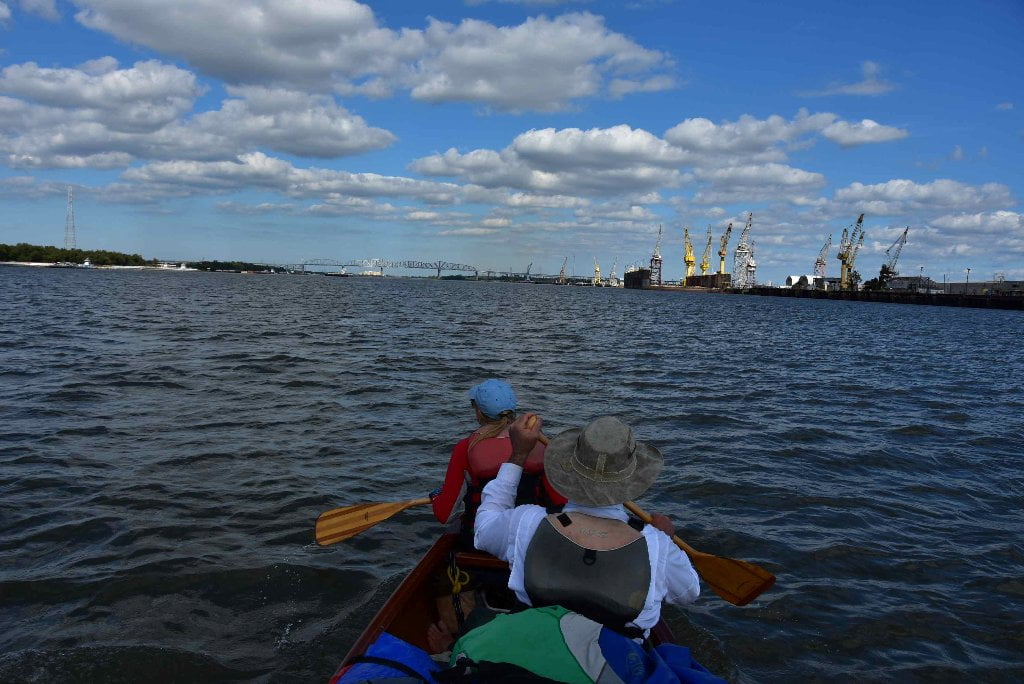
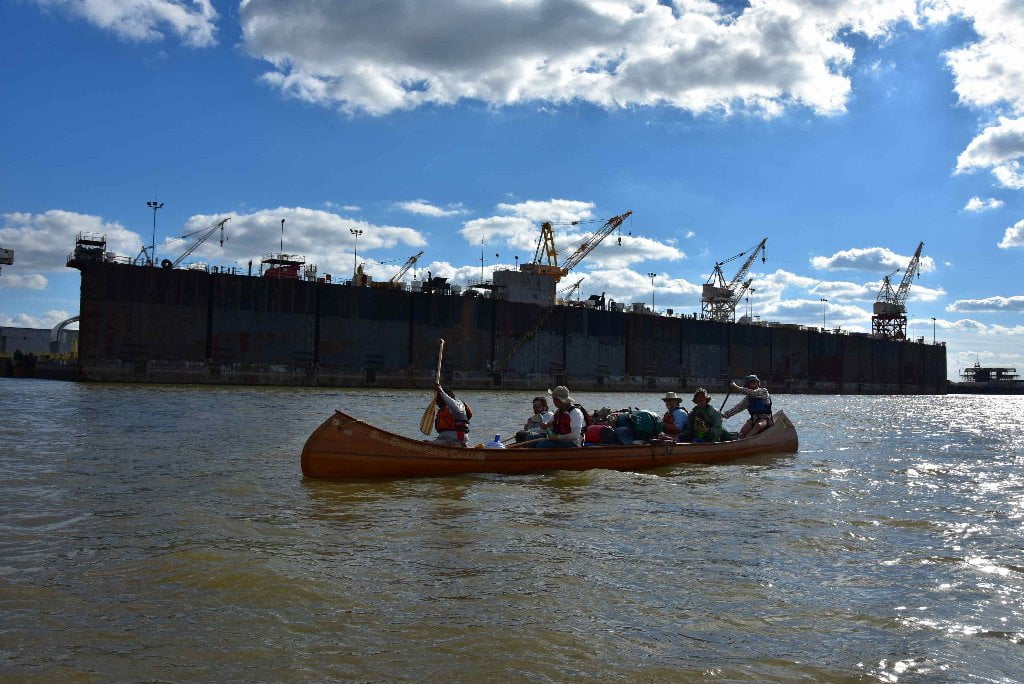
311.7 RBD Auxiliary Intake — Old River Control Structure
As you paddle past Knox Landing and around Point Breeze, with the Clark Creek/Tunica Hills on your left, you might notice a mournful “fog horn” like sounding echoing through the woods right bank descending. This is the warning horn for the Old River Auxiliary Channel. The horn means the gates are open and water is flowing in. Paddlers take caution, and maintain a line of travel several hundred yards off the right bank. The Auxiliary Intake was built following this near disaster to help distribute the water more evenly during future floods, an add-on that seemed to work well during the 2011 flood. Huge piles of sand are piled around the mouth of this canal, but do not be tempted to make landing anywhere near the mouth for possible disaster when you are sucked into the canal by powerful waters. Even if you make safe landing away from the mouth, your nerves will be distraught by the baleful warning horn, which bellows mournfully on and off, on and off, on and off, on and off, on and off, on and off, on and off, ad infinitum, and seems to get louder and more maddening after dark.
316.3 RBD Hydro Intake — Old River Control Structure
Maybe you’ve read about it, or heard frightening tales about it. It’s as legendary as the Chain of Rocks of St. Louis, and as little understood, and as many tall tales told about. No, you won’t be inexplicably sucked into and flushed down the canal. Keep several hundred yards off the right bank descending as you approach mile 316, and watch carefully how the water is flowing. At higher water stay further out, at lower water staying out several hundred yards is enough. Do not make landings anywhere near the mouth. This is the first of three openings sucking water out of the Mississippi for destination down the Atchafalaya. The hydro canal feeds the hydroelectric power plant and is always open with water flowing in. At low water only the hydro intake will be open. At medium water the auxiliary opens. At high water levels all three will be open and flowing strong. So dismiss fears of being snagged out of the main channel by an unavoidable currents. Keep your distance and carry on downstream paddling for the beautiful bluffs rising in front of you, the Tunica Hills at Fort Adams.
Short History of the Old River Control Structure
Before the 15th century, the Red River and Mississippi River were entirely separate and more or less parallel to one another. Beginning in the 15th century, the Mississippi River created a small westward loop, later called Turnbull’s Bend, near present-day Angola, La. This loop eventually intersected the Red River, making the downstream part of the Red River a distributary of the Mississippi; this distributary came to be called the “Atchafalaya River.”
In the heyday of steamboats along the Mississippi River, it would take a boat several hours to travel the 20 miles of Turnbull’s Bend, after which it would have progressed only a mile or so from the entrance to the bend. To reduce travel time,Capt. Henry Shreve, a river engineer who opened up the famous Red River Snag, also founded his namesake Shreveport, LA, dug a canal in 1831 through the neck of Turnbull’s Bend. This canal became known as Shreve’s Cut. At the next high water, the Mississippi roared through this channel.
With the Mississippi River taking a new course, the Red River began emptying into the smaller Atchafalaya River. As well as this, the Atchafalaya River drained additional water from the Mississippi River through the abandoned Turnbull’s Bend, which had come to be known as “Old River”. With this extra intake of water, the channel of the Atchafalaya River was worn deeper and wider throughout the 1800s and early 1900s.
The U.S. Army Corps of Engineers measured the amount of water flowing through the Mississippi River and compared it to the amount entering the Atchafalaya Basin by monitoring “latitude flow” at the latitude of the Red River Landing (Knox Landing), located five miles downstream of Old River. In this case, latitude flow is a combination of the flows of the Mississippi and Atchafalaya rivers as they cross an imaginary line at that latitude.
Between 1850 and 1950, the percentage of latitude flow entering the Atchafalaya River had increased from less than 10 percent to about 30 percent. By 1953, the U.S. Army Corps of Engineers concluded that the Mississippi River could change its course to the Atchafalaya River by 1990 if it were not controlled, since this alternative path to the Gulf of Mexico through the Atchafalaya River is much shorter and steeper.
The Corps completed construction on the Old River Control Structure in 1964 to prevent the main channel flow of the Mississippi River from altering its current course to the Gulf of Mexico through the natural geologic process of avulsion. Historically, this natural process has occurred about every 1,000 years, and is overdue. Some researchers believe the likelihood of this event increases each year, despite artificial control efforts.
If the Mississippi diverts its main channel to the Atchafalaya basin and the Atchafalaya River, it would develop a new river delta south of Morgan City in southern Louisiana, greatly reducing water flow to its present channel through Baton Rouge and New Orleans. The 1973 Mississippi Flood almost caused the control structure to fail. Integrity of the Old River Control Structure, the nearby Morganza Spillway and other levees in the area is essential to prevent such a diversion. Jeff Masters of Weather Underground noted that failure of that complex “would be a serious blow to the U.S. economy.” (Wikipedia)
314.6 RBD Main Intake — Old River Control Structure
This is the original gate built in 1963 to “keep the Mississippi in its place,” and was almost washed a decade later, in 1973, by floods that scoured deep holes around its monumental concrete & steel footings. The auxiliary channel was built following this near disaster to help distribute the water more evenly during future floods, an add-on that seemed to work well during the 2011 flood.
313 LBD Buffalo River
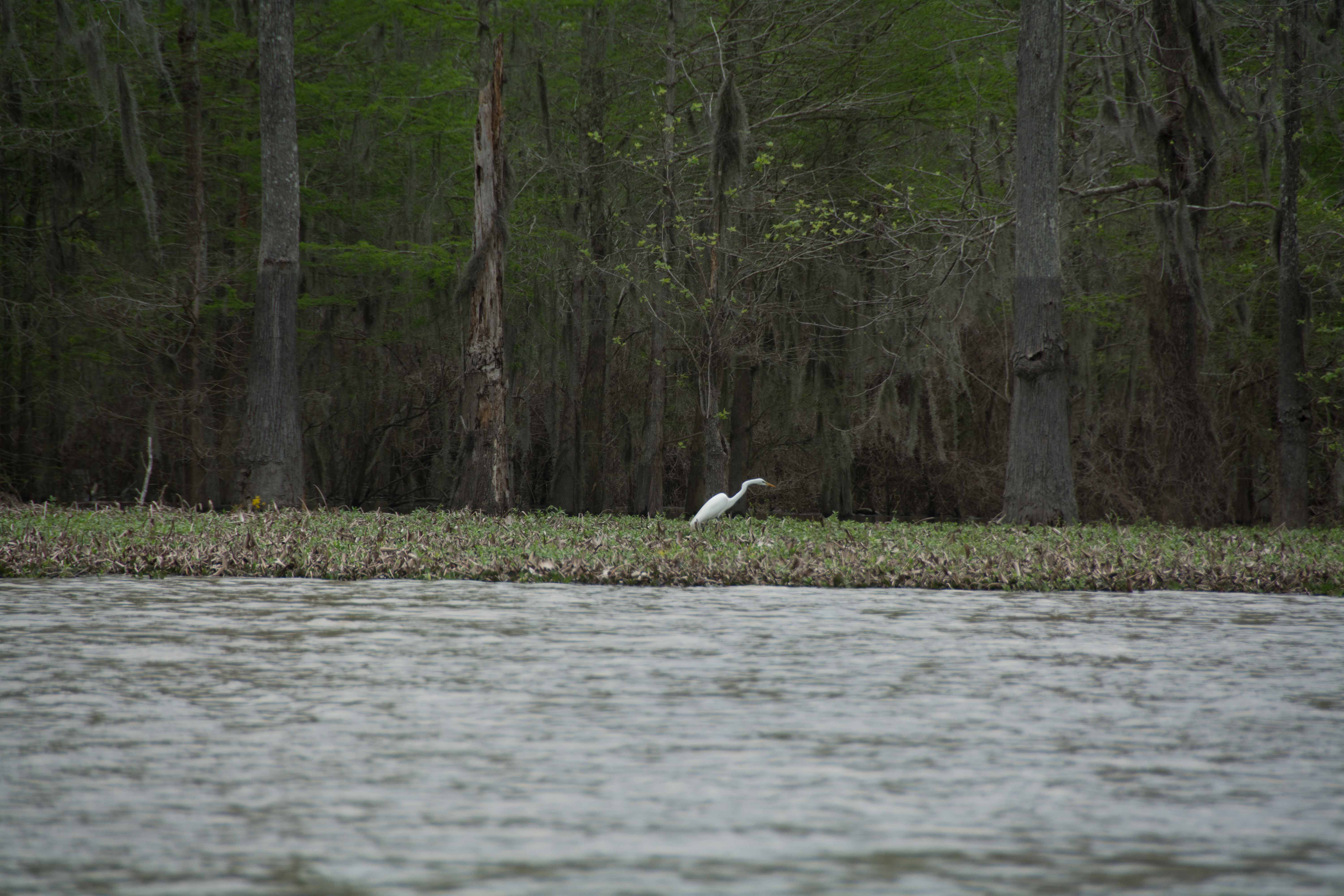
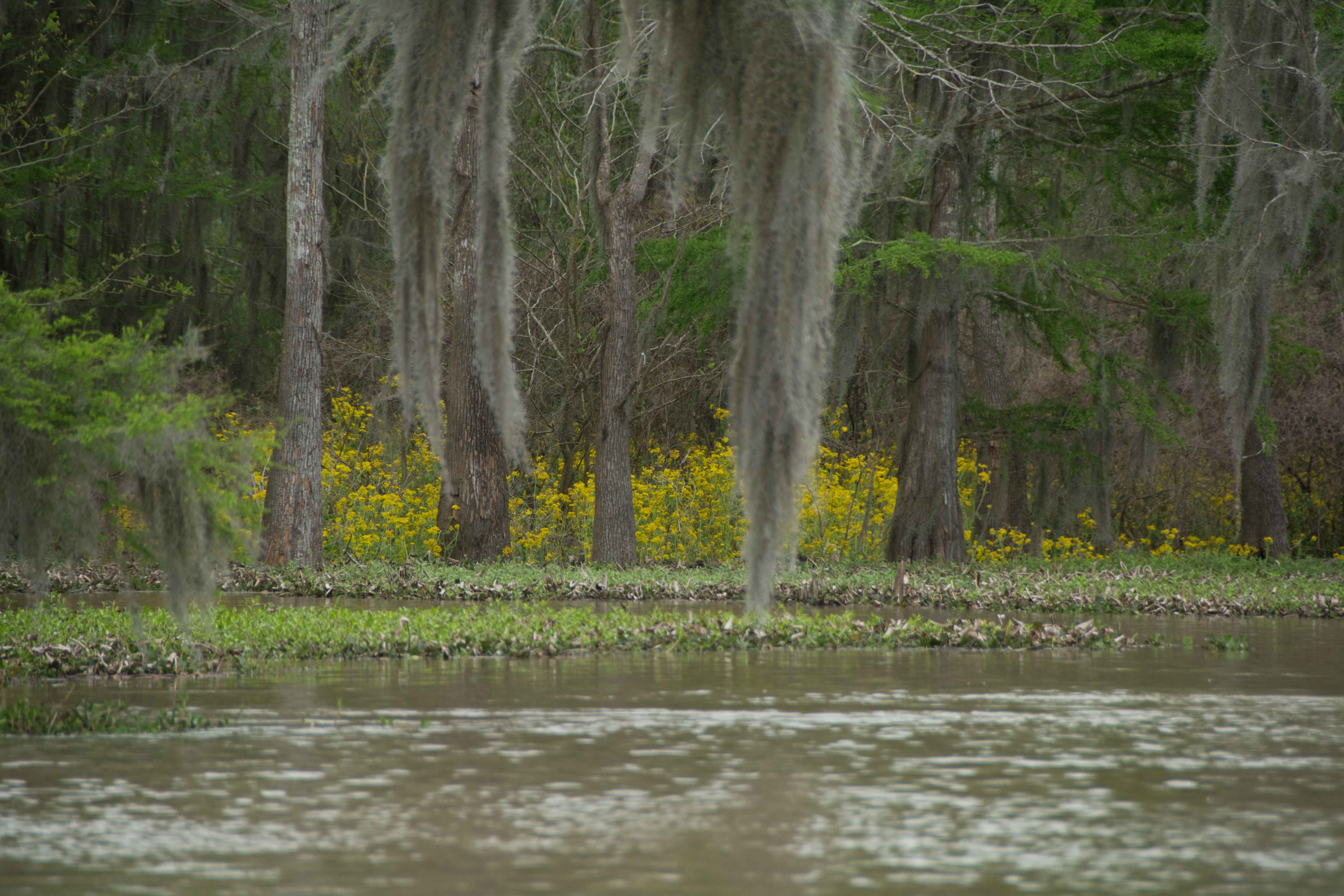
Across the river from the Old River complex is the mouth of the Buffalo River, which meanders through the Mississippi bottomlands below Fort Adams, and is connected to Lake Mary during higher water levels. Paddlers can use the Buffalo for land access to Fort Adams if the river is above 20NG. Paddle up the Buffalo to a private landing located on the east side of the river at the base of the first bridge crossing (Jackson Point Road/dirt road between Lake Mary and Fort Adams). A short walk east will bring you to the hamlet of Fort Adams, where a small country store is located for basic provisions.

Leave A Comment
You must be logged in to post a comment.