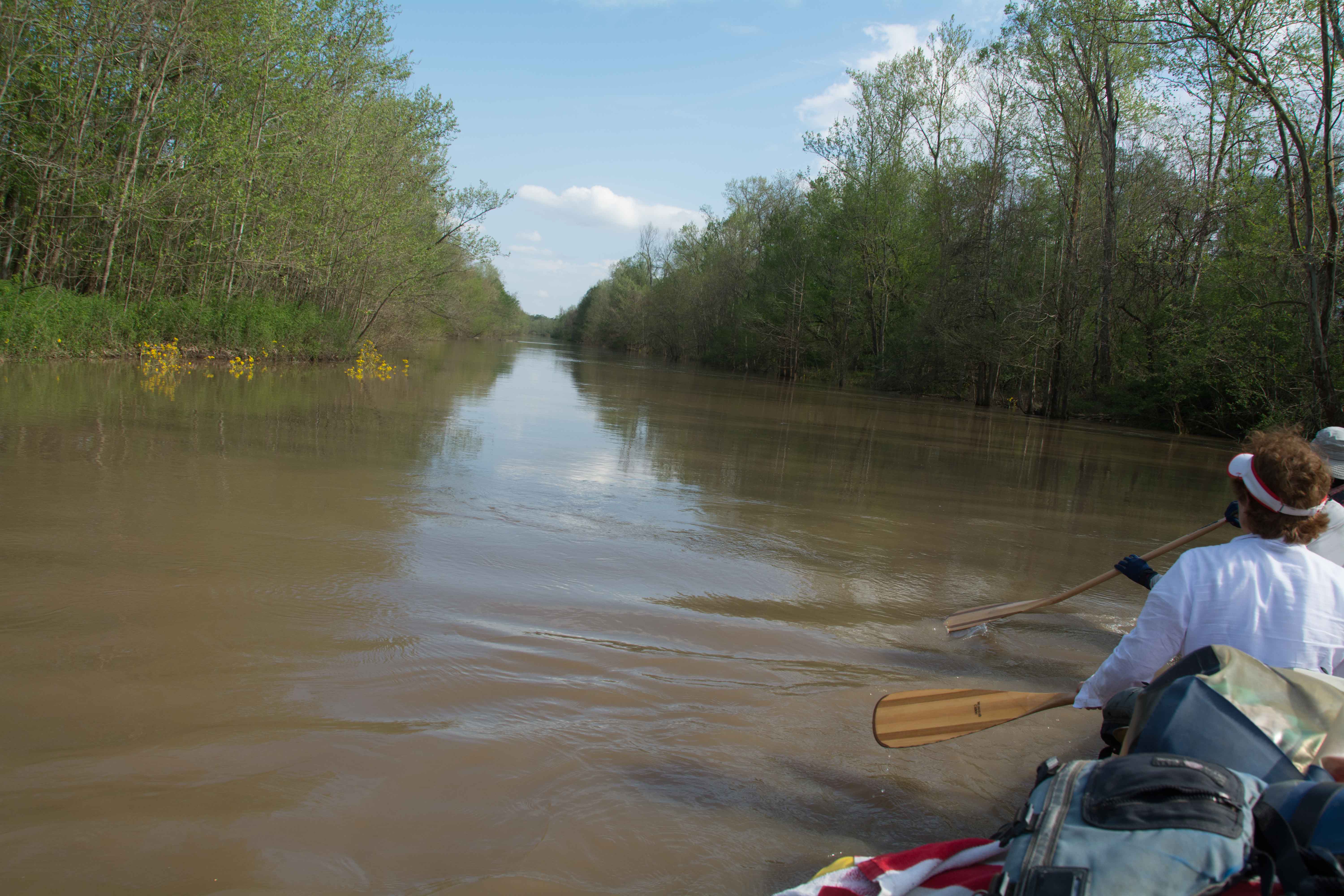
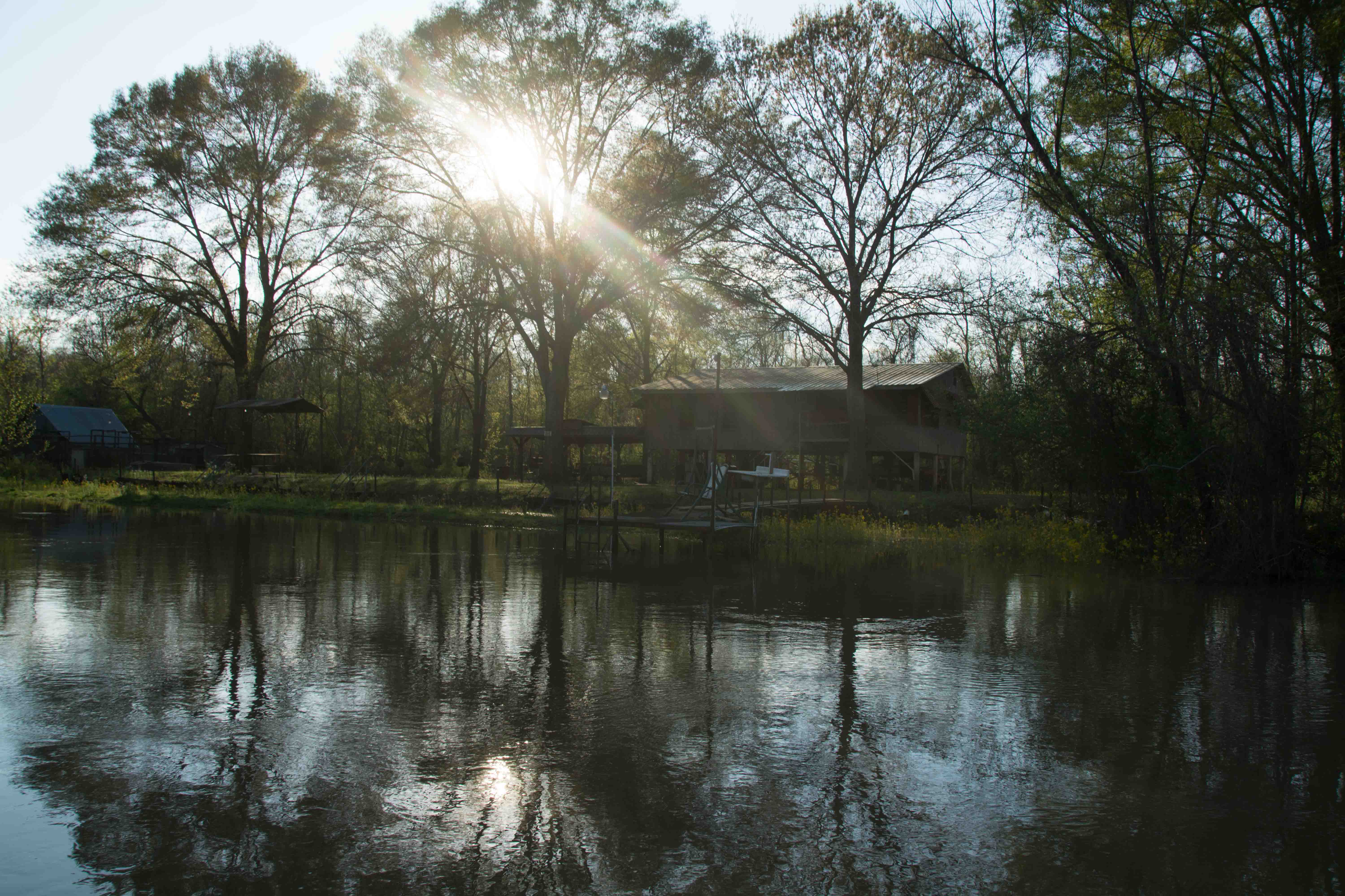
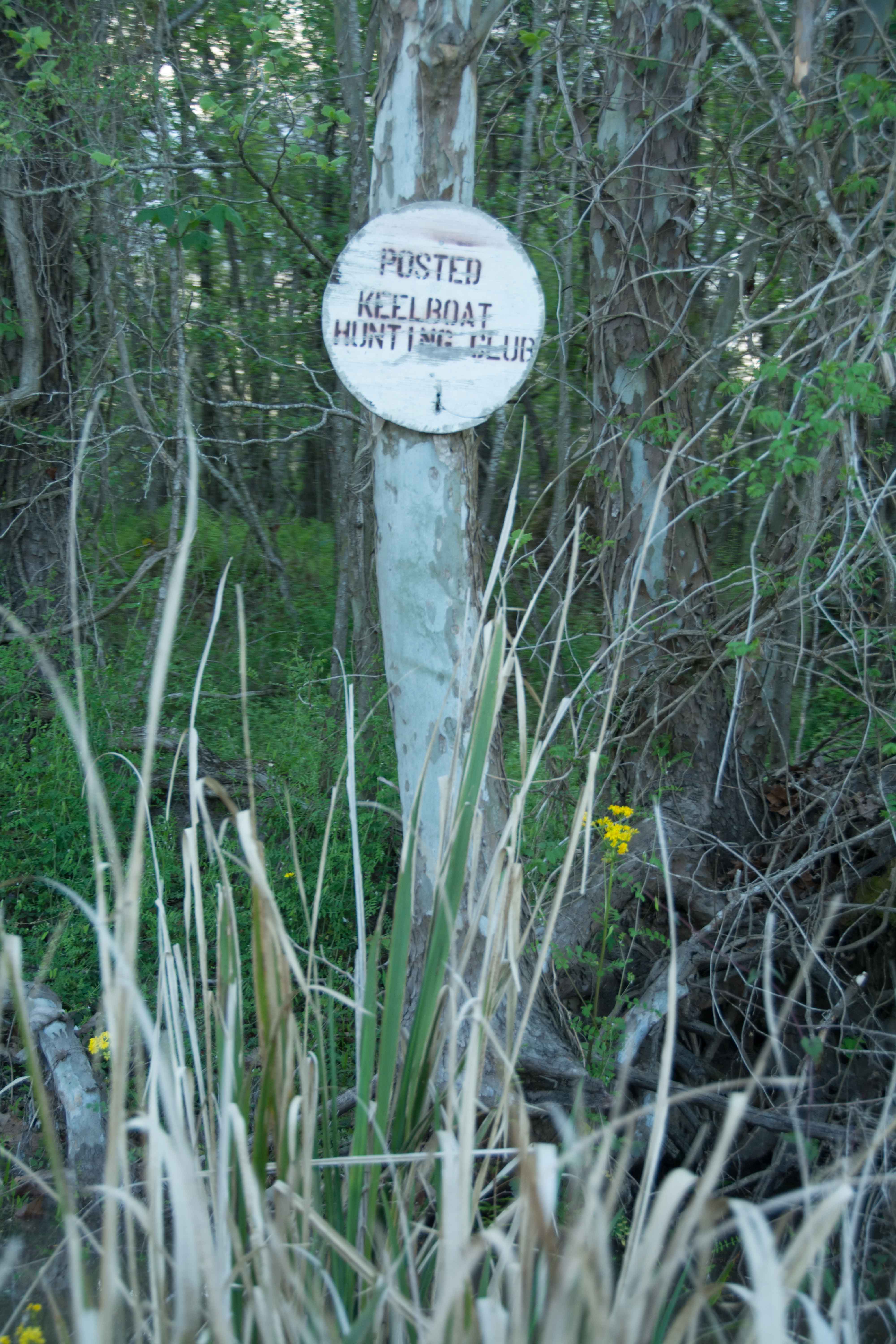
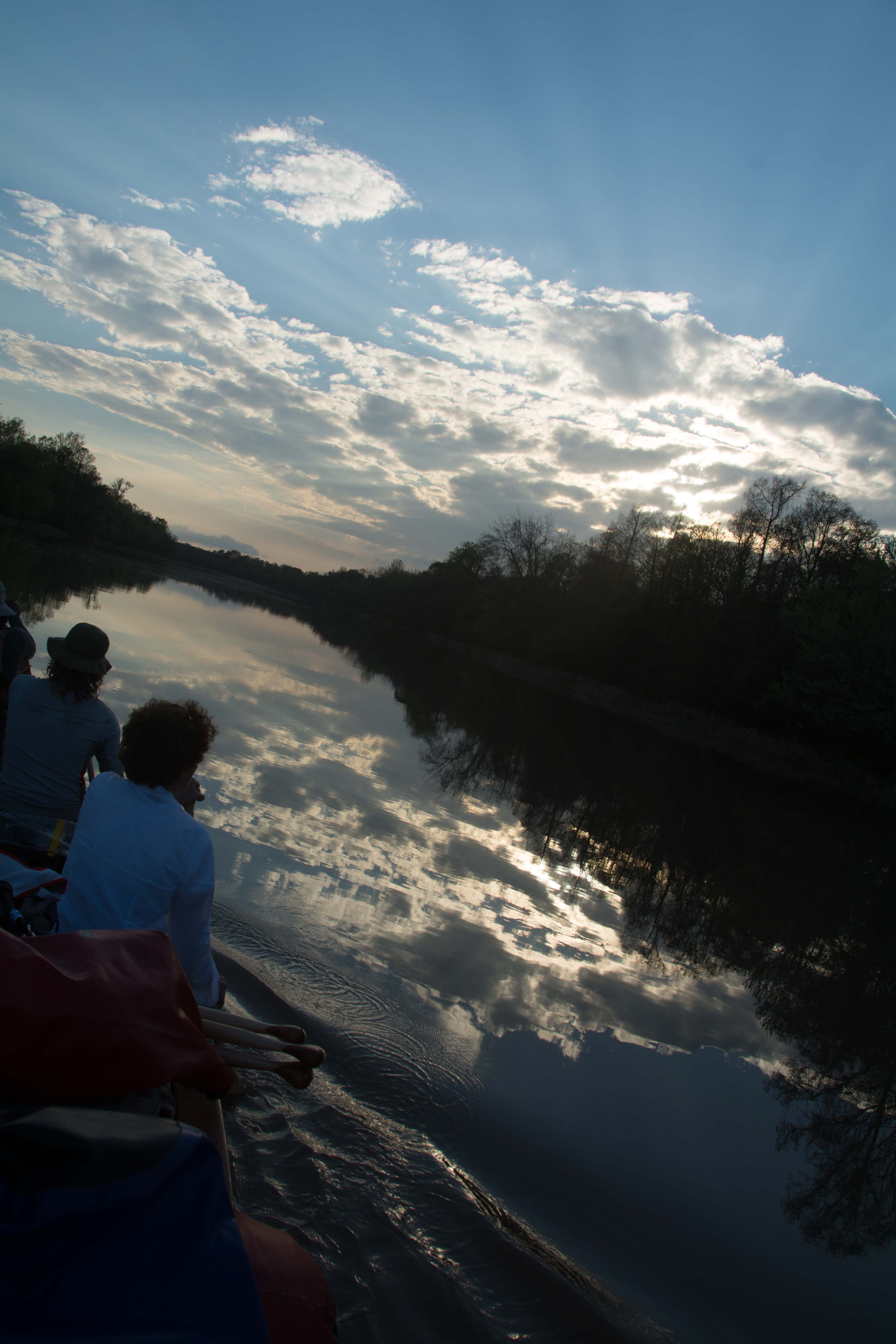
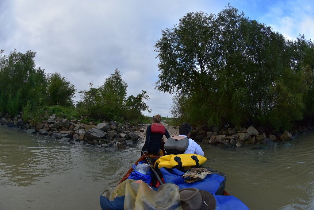
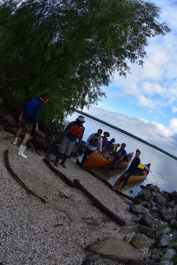
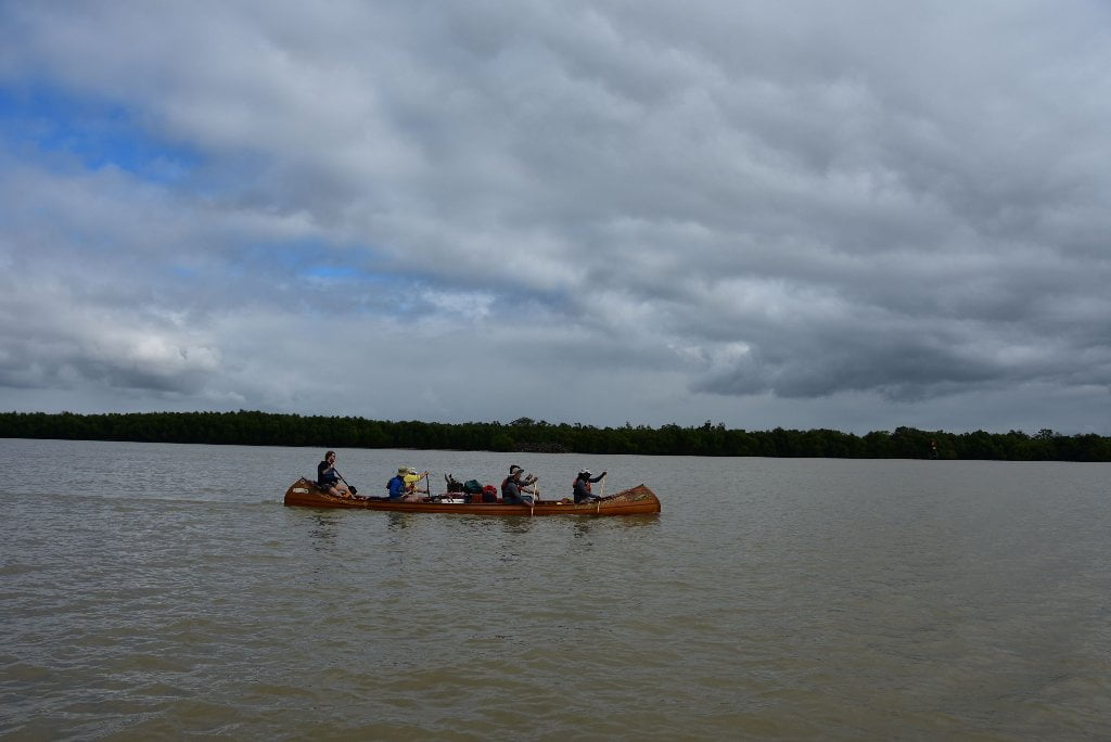
The Lower Mississippi River Water Trail

Wind Direction and Speed

For the weather.gov at Morgan City, go to:

http://forecast.weather.gov/MapClick.php?lat=29.6994&lon=-91.2068#.VqJ4hSifM20


Pay particular attention to the wind speed and direction.  As with other sections of the Mississippi, a good rule of thumb on the Atchafalaya is stay on shore if the wind is blowing above 15 mph in your face, and 20 mph in any other directions.  Wind direction might effect which Pass you take getting to the Gulf.  In strong south winds you might want to avoid south flowing Passes.  Then again, you could battle south winds down The main channel of the Atchafalaya and later enjoy a tail wind as you paddle back up to Morgan City.  Ideally you would drop down the main channel with a 10mph North wind, spend the night on the Melinda Island Beach, and then wake up the next morning the wind having shifted to the south, and paddle back with a 15mph South wind!  If only paddlers were so lucky.  Most likely you will have headwinds regardless of what you do.  That’s the way it always seems to work out.  Like bicyclists, we are sensitive to the air, and so any any slight motion seems to be a headwind.

Atchafalaya Delta Tides

While the Bay of Fundy tides vary up to 53 feet and the Bay of Mont Saint-Michel 50 feet, the Atchafalaya Delta tides normally only vary between 1/2 foot and a 1 foot, and might vary 2 feet in the highest tides of the year.  (This change in levels is known as amplitude, and is described on charts by the term “tidal coeffecient;” see below for more discussion).  But winds and storms can create higher tides, up to 5 feet higher at the ends of the passes.


Small changes in tides is good news for paddlers in this low flat landscape.  You can find dry spots for camping on some beautiful low-lying flat beaches at the Gulf, and a few scattered low hummocks in between.  However you also have to be very careful about incoming high tides, and make sure the place you choose is well above the forecast.  Before paddling down one of the passes, or settling down in any certain campsite, check tidal reports.  Also check weather.gov for any tide warnings.  Tide warnings precede high winds or oncoming storms.  High winds out of the east, south or west might add 3 to 4 feet to any tidal forecast, and hurricanes could add considerably more. 


Warning: a high tide forecast of 3 feet or more would probably put all camp sites below Morgan City underwater!

Tidal Influence:

Besides water levels, the NOAA tides & currents listed below also detail water temperature, air temperature, wind speed & direction, and air pressure.  For daily tide charts paddlers can go to:


Atchafalaya River at Berwick:

http://tidesandcurrents.noaa.gov/stationhome.html?id=8764044


Atchafalaya River at Amerada Pass:

http://tidesandcurrents.noaa.gov/stationhome.html?id=8764227


Atchafalaya Bar Channel:

http://tidesandcurrents.noaa.gov/ports/ports.html?id=mc0101&mode=show_all


There is minor tide changes of several inches below Myette Point.  But below Morgan City you will start feeling the full tidal influence, from 1/2 foot to 2 feet changes.  Every night when you pull up to a camp be sure to add on a foot for waves and rising tides and pull your vessel up an extra foot above river level.  You will experience 1/2 foot to possibly a full 2 feet change at Morgan City, and possibly more in the open channels and bays leading out to the Gulf of Mexico below the Intracoastal Waterway. 


You have probably already experienced some water level changes due to tides without realizing it.  At low water Butte La Rose experiences infinitesimal changes due to the pull of the moon.  The effect becomes very slowly more pronounced the further downstream you paddle.  But now at Myette Point, Morgan City and below you will notice a half foot change from high to low tide, which could affect your campsite choices.  Tidal change combined with increased freighter speed can mean big changes in river levels at your camps, and even bigger waves (when the tide is coming in, and a big boat steams by).  To be absolutely safe about your campsite, choose places that are at least two vertical feet above water level at high tide if you are camped on the main channel.  If you are off main channel (say within one of the passes) you will only need to stay one foot above high tide to be safe.


We will keep our eyes on the river gages in Morgan City as the Rivergator continues downstream to the Gulf, but also on tidal readings.  As we approach Morgan City, the effect of river changes diminishes and the tidal effect increases.  Below Morgan City we will rely entirely on tide charts, and leave river gages behind!  Remember, there are 2 high tides every day, and two low tides, as related to the pull of the moon and (to a lesser extent) that of the sun.  Tidal predications are complicated by the orbiting of the sun and moon, but also by wind over the ocean, but local winds, air pressure, can have an effect, as well as the shape of the shoreline.  Inlets, for instance tend to increase tidal effect.  Incoming storms might pile the water higher and result in higher high tides and higher low tides.  Strong Winds blowing offshore might do the opposite, creating extra low tides.  It’s best to read online charts and watch for storm warnings as you paddle towards Gulf, to get the most accurate prediction.

Estimate your Camp Height

How can you estimate your camp height above water level?  Here are several methods: 1) Stand at the edge of the water looking back at your camp and slowly raise and lower your head by bending your knees until you feel that your eyes are level with camp.  Estimate this height.  That should be as good as you’ll need, but not everyone is comfortable with this method.  If you need something more concrete, try this: 2)  Add a string line, string level, and small tape measure to your expedition kit.  Before setting up your potential campsite, attach one end of the string line to a stick, or stake, or something within your camp choice, and pull the string taught.  Now run it out to the water’s edge and attach string level.  Keep string tight.  Once you have found level, measure the height of the string above the water.  This will give you a fairly accurate measurement.  (Hint: it helps to do this with two people, one holding string, the other measuring height).  This method was suggested by paddler Ben Quaintance in 2015.

Tidal Coefficient

On the Tide Tables there are tidal coefficients which tell us the amplitude of the tide forecast (difference in height between the consecutive high tides and low tides in any given area). The highest possible tidal coefficient is 118, corresponding to the greatest high or low tide there can be, excluding meteorological effects. Tidal coefficients are calculated from the following parameters or from the sun and the moon: straight ascension, declination, parallax and the distance between the Earth and the celestial body.  Despite tidal coefficients being the same for the whole planet, they affect the amplitude of the tides in a very different manner, depending on where we are. This variation in amplitude is almost null and void in closed seas, apart from where there is local resonance (e.g. it can be up to 3ft in Venice); it is weak in mid-ocean, but tends to be considerably amplified when extending to the continental coasts.


In Space: There are tides of weak intensity (in the areas close to the terrestrial equator, the tides barely reach tens of centimetres). In other places there are tides of high intensity (for example: the French coasts of the Saint-Malo Bay), where they regularly exceed 30 ft.


In Time: The coefficient and therefore the amplitude of the tides follow the phases of the moon with slight disparity during waxing and waning moons; and extensive disparity at times of new moon and full moon. The differences in amplitude between low tides and high tides present great contrasts. In Saint-Malo the difference in level between high tide and low tide is reduced to 10 ft in periods of low tides; and goes as high as 40 ft in periods of high tides.

Leave A Comment

SECTION MILE ACCESS CITY
Middle Mississippi & Bluegrass Hills / Bootheel 195-0, 954-850 ST. LOUIS TO CARUTHERSVILLE
Chickasaw Bluffs 850 – 737 CARUTHERSVILLE TO MEMPHIS
Upper Delta 737 – 663 MEMPHIS TO HELENA
Middle Delta 663 – 537 HELENA TO GREENVILLE
Lower Delta 537 – 437 GREENVILLE TO VICKSBURG
Loess Bluffs 437 – 225 VICKSBURG TO BATON ROUGE
Atchafalaya River 159 – 0 SIMMESPORT TO MORGAN CITY
Atchafalaya Upper
Consider The Atchafalaya  
The Atchafalaya  
Alternate Route To The Gulf Of Mexico: The Atchafalaya River  
Big Geography Geography  
Atchafalaya Exit  
Intro: Atchafalaya River  
The Atchafalaya River: Best Route To The Gulf  
Best Water Levels To Paddle To The Gulf  
Traffic And Industry On The Atchafalaya  
NOTE TO PADDLERS:  
Who Is The Rivergator Written For?  
Reading The Rivergator:  
Panel Of Experts:  
Wild Miles:  
Warning: Stay Away From Intake Canals!  
What Are The Wild Miles?  
Big Trees And Floodplain:  
Important Note To Paddlers:  
Your Route: Main Channel Vs. Back Channel  
The Atchafalaya Split  
Maps And Mileage  
USACE 2012 Atchafalaya River And Outlets To Gulf Of Mexico  
Louisiana Geological Survey Atchafalaya Basin Map  
Maps Of The Atchafalaya Delta  
River Speed and Trip Duration  
Dangers Of Paddling Through Morgan City  
Expert Paddlers Only!  
Wind Direction And Speed  
Atchafalaya Delta Tides  
Tidal Influence:  
Estimate Your Camp Height  
Tidal Coefficient  
Tides In Rivers  
Tidal Bore  
Water Speed In The Passes  
Which Pass?  
Wax Lake Outlet: Alternate Route To The Gulf  
Shell Island Pass  
Location Island Pass  
Amerada Pass  
Main Channel: Melanie Island  
The Joy Of Reaching The Gulf  
Camping On The Gulf At The End Of The River  
The Best Gulf Beaches  
Open Water Of The Gulf?  
Some Helpful Hints:  
Getting Back To Land  
Getting Back  
Upstream Paddling  
What Do You Do Now With Your Vessel?  
LiNKS = Leave No Kid On Shore  
Atchafalaya Basinkeeper  
Bayou Teche Experience  
Bayou Sara kayak Rental  
Pack & Paddle  
Services For Lower Mississippi River Paddlers  
Lower Mississippi And Ohio River Forecast  
Reading Google Maps  
Lower Mississippi River Mileage  
Rivergator  
Towboat Protocol  
What To Pack:  
Atchafalaya Swamp Pack List:  
Primitive Camping In The Marshes & Swamps  
Biting Bugs  
Poison Ivy  
Can You Drink The Water?  
Where Do You Go? (To The Bathroom?)  
Water Quality  
The Atchafalaya Basinkeeper  
The Lower Mississippi Riverkeeper  
Environmental Reporting Phone Numbers:  
Maps And Mileage  
Louisiana Geological Survey Atchafalaya Basin Map  
Atchafalaya River Boat Ramps (Functional Jan 2016)  
River Gages  
Best Water Levels To Paddle To The Gulf  
What Do You Do Now With Your Vessel?  
LiNKS = Leave No Kid On Shore  
Left Bank And Right Bank  
Towboats And Buoys  
VHF Marine Radio  
Resources  
Cajun Culture And The Atchafalaya Wilderness  
SOLA Coffee Companies  
How To Brew A Great-Tasting Pot Of River-Rat Coffee  
The Atchafalaya  
A Note On Mileage  
A Note On Pronunciation  
Where To Start Your Atchafalaya River Expedition  
Leaving The Mississippi River  
Mississippi River Maps And Mileage  
NATCHEZ GAGE (NG)  
WATER LEVELS AND DIKES  
USING THE NATCHEZ GAGE:  
Three Inflow Openings At Old River  
Warning  
Old River Control Structure: 3 Inflow Channels  
316.3 RBD Hydro Inflow Channel
313.7 RBD Knox Landing
311.7 RBD Auxiliary Intake — Old River Control Structure
316.3 RBD Hydro Intake — Old River Control Structure
Short History Of The Old River Control Structure  
314.6 RBD Main Intake — Old River Control Structure
313 LBD Buffalo River
Clark Creek Natural Area  
311.7 LBD Clark Creek
311.7 – 310 LBD Tunica Hills Below Clark Creek (Mississippi Loess Bluffs ##6)
311 – 309 RBD Point Breeze
310.2 LBD Wilkinson Creek
306 LBD Welcome To Louisiana!
306 – 294 LBD Angola State Penitentiary
306 LBD Angola Ferry
304.5 – 303 LBD Shreve’s Bar
306 – 302 Back Channel Of Shreve’s Bar
306 – 302 Main Channel Of Shreve’s Bar
303.8 Old River Lock And Dam: Entrance To The Atchafalaya River
Leaving The Mississippi Towards Lock & Dam  
The Atchafalaya River: Best Route To The Gulf  
How Does A Lock & Dam Work?  
Contact Lockmaster  
Safe Paddling Through A Lock & Dam  
Lock Signals  
Inside The Lock Chamber  
Order Of Locking Through  
Mileage Down Lower Old River Channel  
6.9 RBD Three Rivers Junction
Red River  
Three Rivers WMA And Red River NWR  
Atchafalaya – A Modern History  
Atchafalaya Lower
Atchafalaya River Basin Biotas  
A Lived-In Landscape  
Atchafalaya Mileage  
RBD = Right Bank Descending, LBD = Left Bank Descending  
Gas Pipelines  
Simmesport Gage (SG)  
Water Levels According To The Simmesport Gage  
Maps And Mileage  
USACE 2012 Atchafalaya River And Outlets To Gulf Of Mexico  
Louisiana Geological Survey Atchafalaya Basin Map  
0.1 LBD Three Rivers Landing
1.4 LBD Small Dune
1.9 RBD Coville Bayou
3.4 LBD Bayou Coteau
4.5 Simmesport KCS Railroad Bridge
4.6 LBD Simmesport Sand Dune
4.8 LBD Kuhlman Bayou
5.5 Simmesport River Park
Simmesport, Louisiana  
Canadaville, Louisana  
9 – 11 RBD Odenburg Island Dikes
12.5 LBD Marine Bayou
13 – 20 Atchafalaya Squiggles
13.2 RBD Porcupine Point
14.5 LBD Cypress Point
14.5 RBD  
14.7 RBD Small Dunes
15.5 Primitive Boat Ramp (Private)
16 RBD Eddy Dune
16.5 RBD Trash Site
17 – 18 RBD Hick’s Landing/Gordon Point
18 – 20 LBD Bayou Point
Borrow Pits And Blue Holes  
20.5 LBD Small Sandy Shelves
20 – 25 Bayou Current To Elba Landing
22 RBD Cell Tower
22.2 LBD Small Hump Of Sand
23.4 RBD Barberton Landing
25.1 RBD Elba Landing
26.1 RBD Small Bluff Of Sand
26.2 LBD Broad Sandy Shelf
26.3 RBD Old Channel Of Bayou Rouge
27.1 LBD Point Coupee/Bayou Latenache Pumping Station
27.1 Morganza Floodway – North End
28.1 Underwater Pipeline Crossings
28.2 Aerial Pipeline Crossing
29.6 Melville Union Pacific Railroad Bridge
29.7 RBD Melville Boat Ramp (Primitive)
29.8 LBD Melville Ferry Barge East Bank Landing
30 – 40 Melville To Krotz Springs
31 LBD Broad Bay
31.5 LBD Cross Bayou
31.7 LBD Open Field Cow Pasture
32.5 LBD Cross Bayou Point (Owl Hoot)
35.6 LBD Small Sandbar
36 – 37 RBD Sandy Landings
37.1 RBD Cell Tower
39.7 LBD Bayou Sherman Point
Atchafalaya Basin Pack List For Swampy/Marshy Camp Sites  
Switching To The KROTZ SPRINGS GAGE (KG)  
Water Levels According To The Krotz Springs Gage  
38.5 – 42.7 Krotz Springs Utility Crossings
39.3 Water Drainage Structure: Origins Of The Teche River
39.5 RBD Cell Tower
39.6 LBD High Sand Dune
40.3 RBD Gravel Landing
40.3 Wire Suspension Bridge For Pipeline
41 Krotz Springs US Hwy 190 And 71 (2 Bridges)
41.5 Krotz Springs Union Pacific Railroad Bridge
42.3 RBD Krotz Springs Boat Ramp
Krotz Springs History  
42.5 RBD Port Of Krotz Springs
Krotz Springs To The Split  
Atchafalaya National Wildlife Refuge  
44 Sherburne Bend
44.5 RBD Frank Diesl Point
44.9 LBD Small Sand Dune
46.1 RBD Bayou Big Graw Boat Ramp
49.3 RBD Bayou Courtableau
49.7 LBD Coswell Point
51 RBD Courtableau Point
54.2 LBD End Of The East Bank Levee
55 LBD Atchafalaya NWR Boat Ramp
55.1 Two Blue Holes
55.4 LBD Alabama Point
56.4 RBD Old Atchafalaya Point
56.4 The Atchafalaya Split
Whiskey Bay Pilot Channel  
59.8 I-10 The Atchafalaya Basin Bridge
60 RBD Sand Dune
60.5 Union Texas Petrochemical Aerial Crossing
61.7 LBD Bayou Des Glaises Boat Ramp (Primitive)
62.3 LBD Bayou Des Glaises
66.4 RBD Splice Lake
66.7 LBD Pat’s Throat
68 RBD Willow Point
68.5 LBD Blue Heron Point
70.9 LBD Upper Grand River
73.4 LBD Little Tensas Bayou
75.3 LBD Texaco Resources Dock
75.5 RBD Splice Island (Bottom End)
Primitive Camping In The Marshes & Swamps  
75.7 LBD Jake’s Bayou
75.8 Three Major Pipelines
76.4 LBD Lake Mongoulois Point
77.2 RBD Bayou Chene
79.9 Tarleton Bayou
81.2 LBD Bayou Sorrel
81.2 LBD Bayou Sorrell: Alternate Route Down The Atchafalaya
3 Days On Dean’s Route  
East Grand Lake  
82.4 LBD Bee Bayou
82 – 99 Chicot Pass
83 Pipeline Tailings
83.2 Philip’s Canal
85.7 RBD Danbury Management Corp Dock
86.2 RBD Canal Entrance
86.8 RBD Canal Entrance
88.1 RBD Canal Entrance
89.7 RBD Pipeline Canal
91.2 Texas Gas Transmission Co. 12″ Gas Pipeline
Attakapas Island Wildlife Management Area  
95.4 LBD Blue Hole
96.1 Texas Gas Transmission Co. 12″ Gas Pipeline
96.7 Old Pipeline Canal
97.3 Louisiana Intrastate Gas Corp 4″ Gas Pipeline
98.2 RBD Myette Point
MORGAN CITY GAGE (MCG)  
Water Levels According To The Morgan City Gage  
Tidal Influence  
Estimate Your Camp Height  
100.2 LBD Blue Hole Landing
102 RBD Sixmile Lake: Access To Wax Lake Outlet
Wax Lake Outlet: Alternate Route To The Gulf  
Paradise Regained: The Wax Lake Delta  
103.8 LBD Narrow Bayou Leading To East Grand Lake
105 LBD Blue Point Chute: Shortcut To Cypress Wonderland
107.9 Exxon Gas Transmission Company 20″ Gas Pipeline
108.3 RBD Shortcut To Sixmile Lake
109 RBD Cypress Pass Back Channel
109.5 Duck Lake Channel
Duck Lake  
Many Rivers To Follow  
111.7 RBD Lower Atchafalaya River
111.7 RBD Riverside Pass
112.5 RBD Three Island Pass
113 RBD Little Island Pass
Main Channel Atchafalaya River  
115.1 American Pass
115.8 LBD Pipeline Canal To Dog Island Pass And Flat Lake
Flat Lake  
115.8 – 119.8 LBD Drew’s Island
117 RBD Stouts Point
119 Drew’s Pass
Dangers Of Paddling Through Morgan City  
Waves  
Small Tows In Harbors  
Towboats Vs. Tugboats  
Stay Off The River In Fog  
Fleeted Barges  
Buoys And Other Hazardous Stationary Objects  
119 LBD Swiftships Boat Yard
119.5 RBD Bayou Teche (Berwick) Lock & Dam
119.5 RBD Bayou Teche Water Trail
121 Morgan City US Hwy 90 Bridge
121.2 LBD Morgan City Downtown Landing
Morgan City  
121.3 Morgan City Texas And New Orleans Railroad Bridge
121.4 RBD Berwick Public Boat Ramp
121.4 LBD Mr. Charlie: The International Petroleum Museum
Intro: Morgan City To The Gulf Of Mexico  
Maps Of The Atchafalaya Delta  
Best Water Levels To Paddle To The Gulf  
Morgan City Gage (MCG)  
Water Levels According To The Morgan City Gage  
Flood Stage Warning:  
Weather And Tides  
Check The Winds And Weather  
Tidal Influence:  
Estimate Your Camp Height  
121.5 LBD Gulf Intracoastal Waterway (East)
121.7 – 130.3 Bateman Island
Pipelines And Electrical Lines  
124.2 RBD Berwick Intracoastal Waterway Boat Launch
124.2 RBD Gulf Intracoastal Waterway (West)
124.5 RBD Gulf Intracoastal Waterway Point (South Side)
Atchafalaya Delta Navigation Channel Buoys  
126-127 LBD Outside Bend Highground
127.4 Bateman Island Point And Bend
127.5 – 128 RBD Cypress Forests
128 – 131 LBD Sweetbay Lake
131 LBD Access To Bayou Shaffer Via Sweetbay Lake
131 RBD Glass Island
Night-Time Sky In The Atchafalaya Delta  
131.8 – 132 LBD Stands Of Young Cypress Trees
134 RBD Sandy Willow Spit
134 LBD Avoca Island Cutoff
135-136 LBD New Dike Wall
135-138 LBD New Navigation Channel Around He Avoca Island Bend
136 – 137 Sandy Marsh Island
137.8 RBD Shell Island Pass
Gulf Route: Crossing Over To The Wax Lake Delta  
Atchafalaya Delta Wildlife Management Area  
138.5 LBD Low Lying Muddy/Sandy Beach With Willows
139.1 LBD Small Shell Beach
140 LBD Deer Island
140.5 RBD Breaux’s Pass
140.2 LBD Location Island Pass
142.2 LBD East Pass
144.2 RBD Amerada Pass
144.2 RBD Willow Island
144.3 LBD God’s Island
144.8 RBD Log Island Pass
145.4 RBD Yvette Island
146 RBD Melanie Island
148.5 RBD Donna Island
150.5 RBD Eugene Island
151.5 LBD Bird Island East
Pount Au Fer/Raqet Pass  
Getting Back To Land  
Atchafalaya Delta WMA Campground  
Wax Lake Delta Passes  
Getting Back  
Upstream Paddling  
What Do You Do Now With Your Vessel?  
LiNKS = Leave No Kid On Shore  
Louisiana Delta 229 – 10 BATON ROUGE TO VENICE
Birdsfoot Delta 10 – 0 VENICE TO GULF OF MEXICO