The Lower Mississippi River Water Trail
RBD 785 Osceola Arkansas
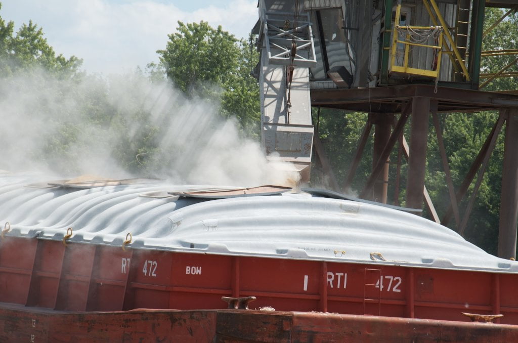
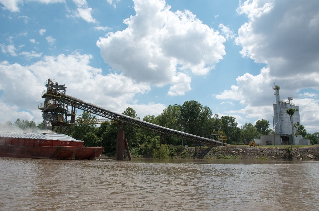
If you stay main channel watch for anchored tows as you come around Plum Point. Two grain elevators are located within the Osceola Harbor, and a third one found two miles downstream next to a huge coal-fired power plant.
As described above, the only access to Osceola is from behind Island 30. If the water is high enough (above 25 CuG), you can enter from above Island 30, but if it is lower you will need to turn into the Osceola Harbor at the base of the Island RBD 785 and paddle back upstream a little over a mile to locate Jacksonville Landing. Another alternative is to continue on downstream two miles to the Sans Souci Landing near the Bunge Grain elevator and make your land connection there (see below for description). It’s a long walk back to town, but the landing is much easier to access than Neark Landing. As with all Mississippi River landings, safeguard your canoe or kayak by hiding it carefully along the bank, or leave someone in your party stationed as security.
RBD 783.5 Sans Souci Boat Ramp
Excellent Boat Ramp with ample parking on either side. Best ramp above Memphis. Perfect put-in for canoeing or kayaking the four Chickasaw Bluffs into Memphis (which sprawls over and behind the 4th bluff). Don’t leave vehicle overnight; arrange shuttle.
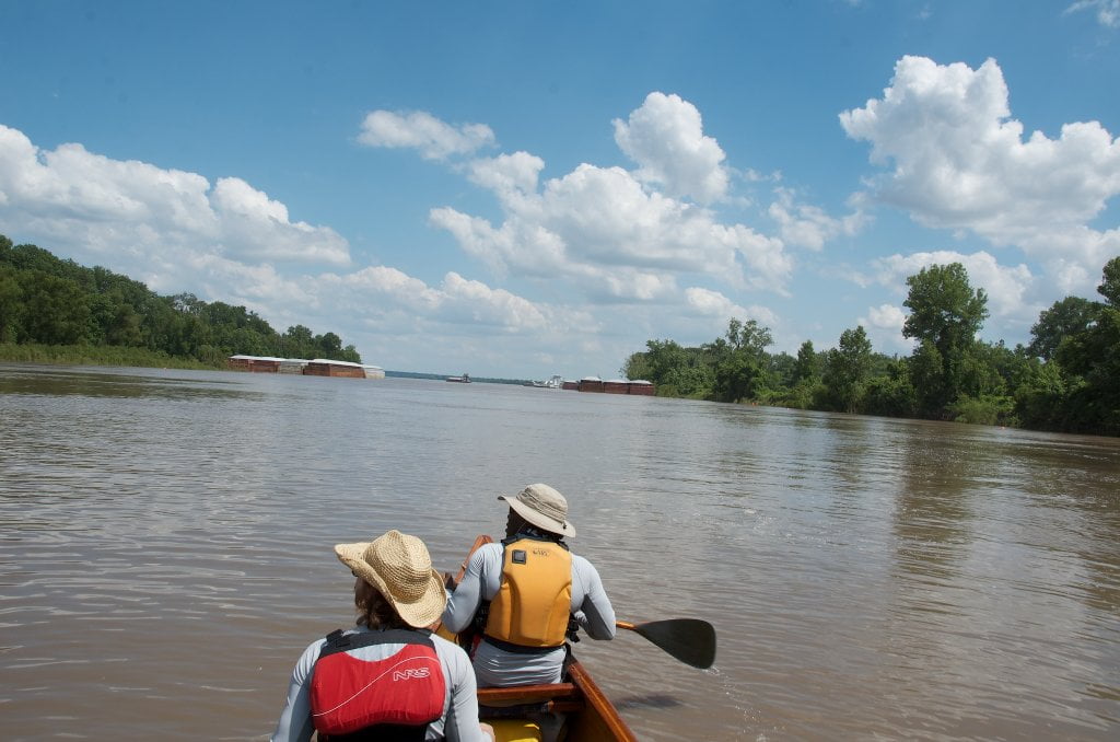
As you leave Sans Souci Landing headed downstream and paddle into the middle of the strong channel found there you will get your fist glimpse of the first of the Chickasaw Bluffs, the Fort Pillow Bluff, which doesn’t appear like nothing more than a line of trees slightly higher than the rest at this distance. Five miles downstream, however that line of trees will reveal one of the most incredible natural phenomenas along the Lower Mississippi… Keep reading below.
LBD 782 Driver Island
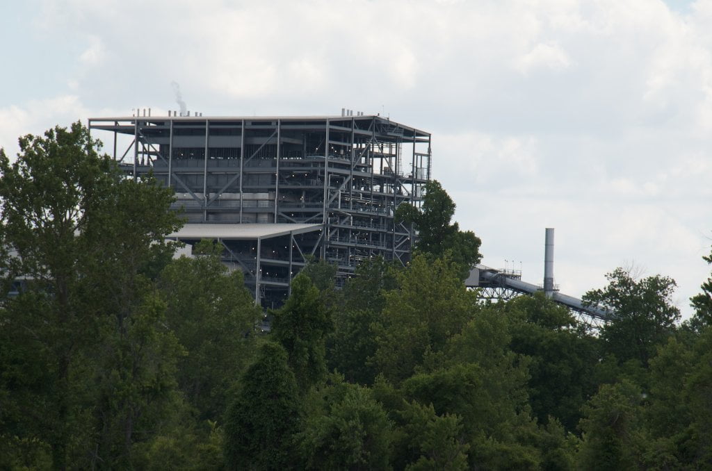
Small forested island with substantial bar at low water, ideal picnicking and camping around 20-25 CuG, goes completely under at flood stage. Noisy Power Plant Arkansas shore and upstream a mile.
LBD 779.8 Old Mouth of the Forked Deer
Oftentimes a rough landing (ragged revetment at medium and low waters, driftwood piles at high water) but well worth the visit. Paddle as far as you can up and into the old channel of the Forked Deer where old willows hang over the water and create a lush green tunnel full of songbirds. Wild turkeys and deer thicken the woods. Rarely open more than a hundred yards. Cool respite on hot day, good place to get out of the wind on a cold day. The old channel of the Forked Deer creates the boundary for Anderson-Tully State WMA which has protected most of the 1st Chickasaw Bluff. If you are lucky enough to catch it free of floating debris you can paddle upstream a meandering mile or so to reach Cold Creek Chute, a Mississippi River Oxbow which boasts some of the best fishing in Western Tennessee (although being an old river channel it is actually half in Arkansas and half in Tennessee).
Leave A Comment
You must be logged in to post a comment.